Atlanta History Center “War in our Backyards”
The Atlanta History Center’s Civil War exhibit “War in Our Backyards: Discovering Atlanta, 1861-1865″ featured an interactive computer system using Geographic Information System (GIS) data developed by Bill Drummond.
The exhibit incorporated GIS data which Bill gathered from a variety of sources including historical Civil War maps, maps from the Official Atlas of the Civil War, and the US Civil War Sites Advisory Commission. It allowed visitors to pan and zoom interactively across the Atlanta region using contemporary aerial photography with Civil War fortifications, troop movements, and landmarks. The exhibit ran from 2010-2012.
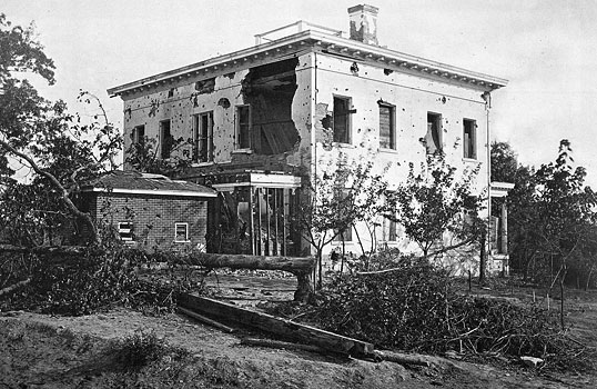
Image of the Ponder House taken by George N. Barnard shortly after the Battle of Atlanta, 1864; Library of Congress Prints and Photographs Division, Washington, DC.